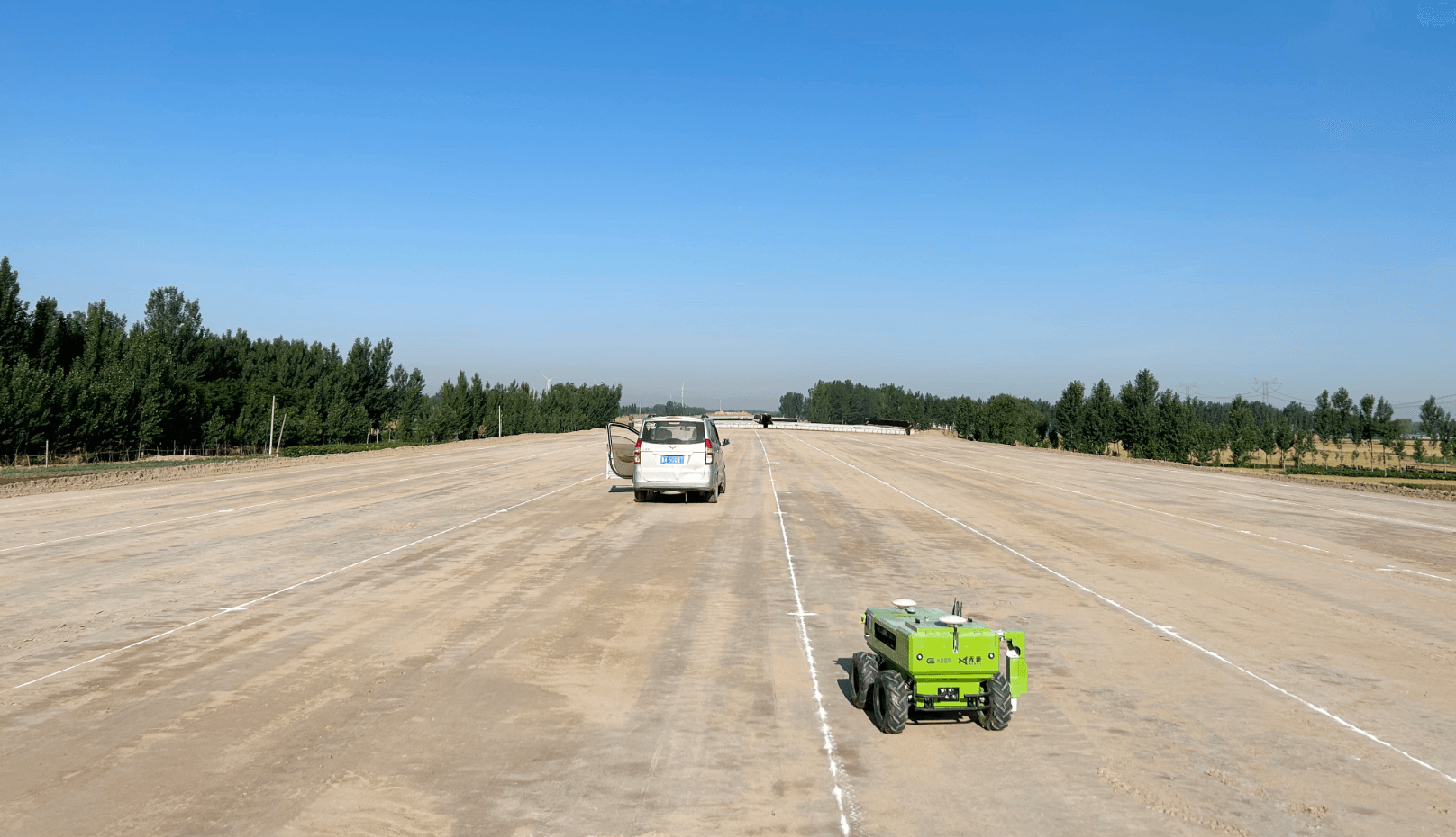
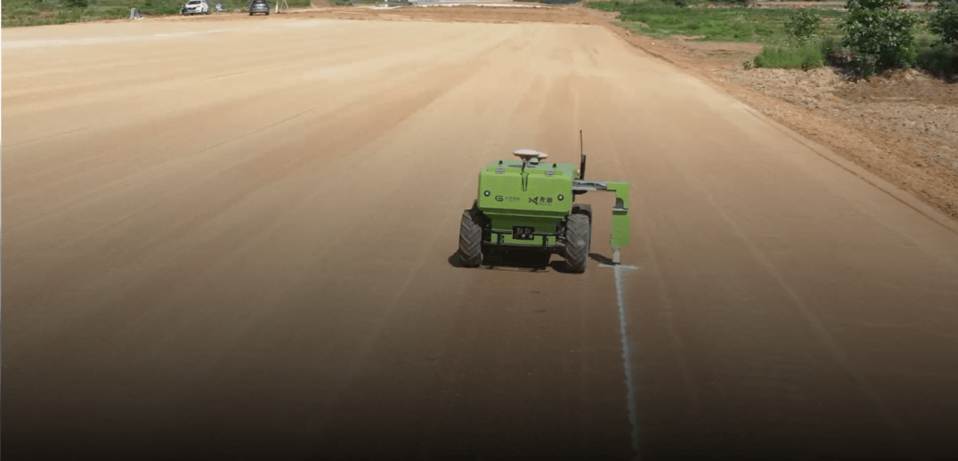
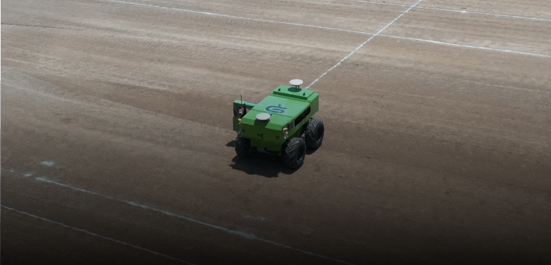
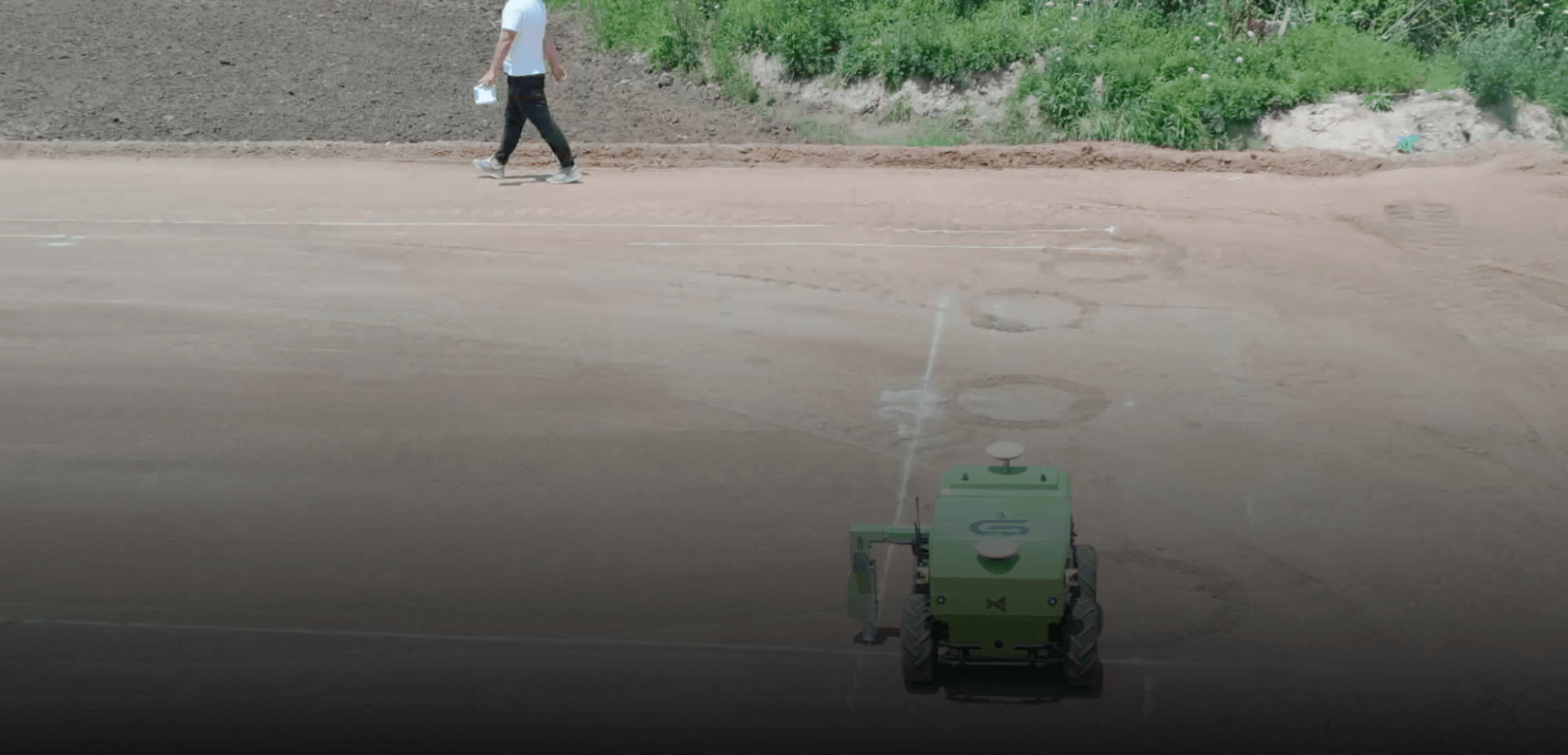
Roadbed Measurement Robot
Roadbed measurement robot is an intelligent measurement robot that can automatically perform road measurement, marking, and line drawing. It mainly serves measurement and setting-out tasks involved in roadbed construction filling and excavation stages, including edge stakes, center stakes, elevation control, precise leveling, and pipe culvert excavation. Through efficient and precise measurement and setting-out, it improves overall construction efficiency and quality.
 Pipe Culvert Setting-out
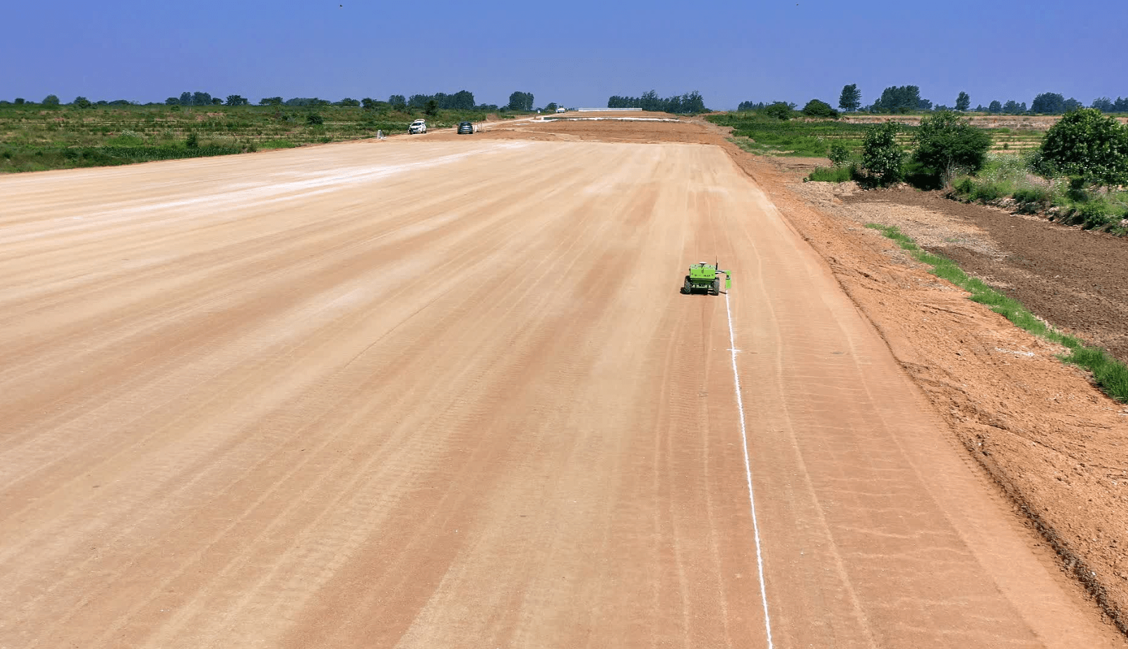 Edge Line Setting-out
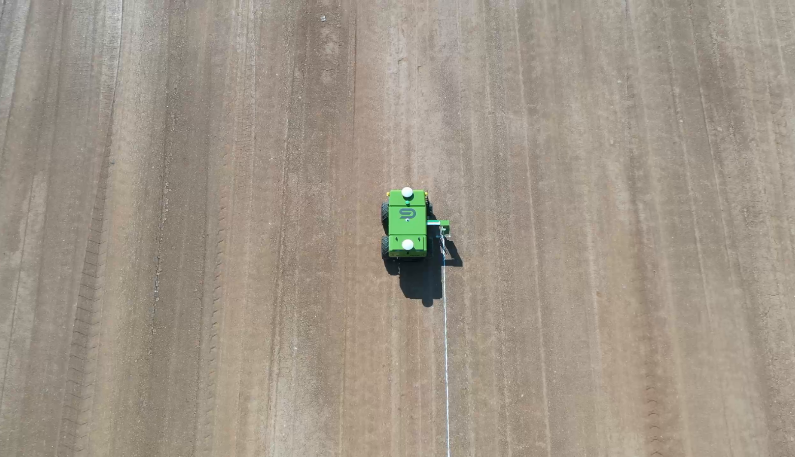 Center Line Setting-out
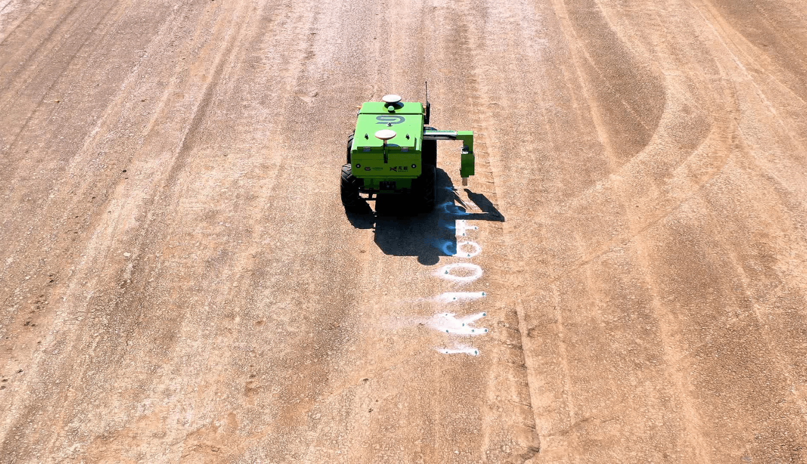 Stake Number Marking
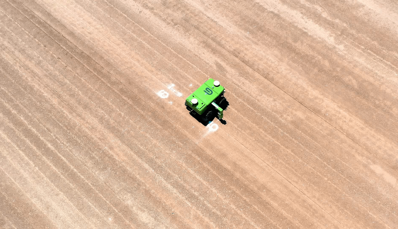 Leveling
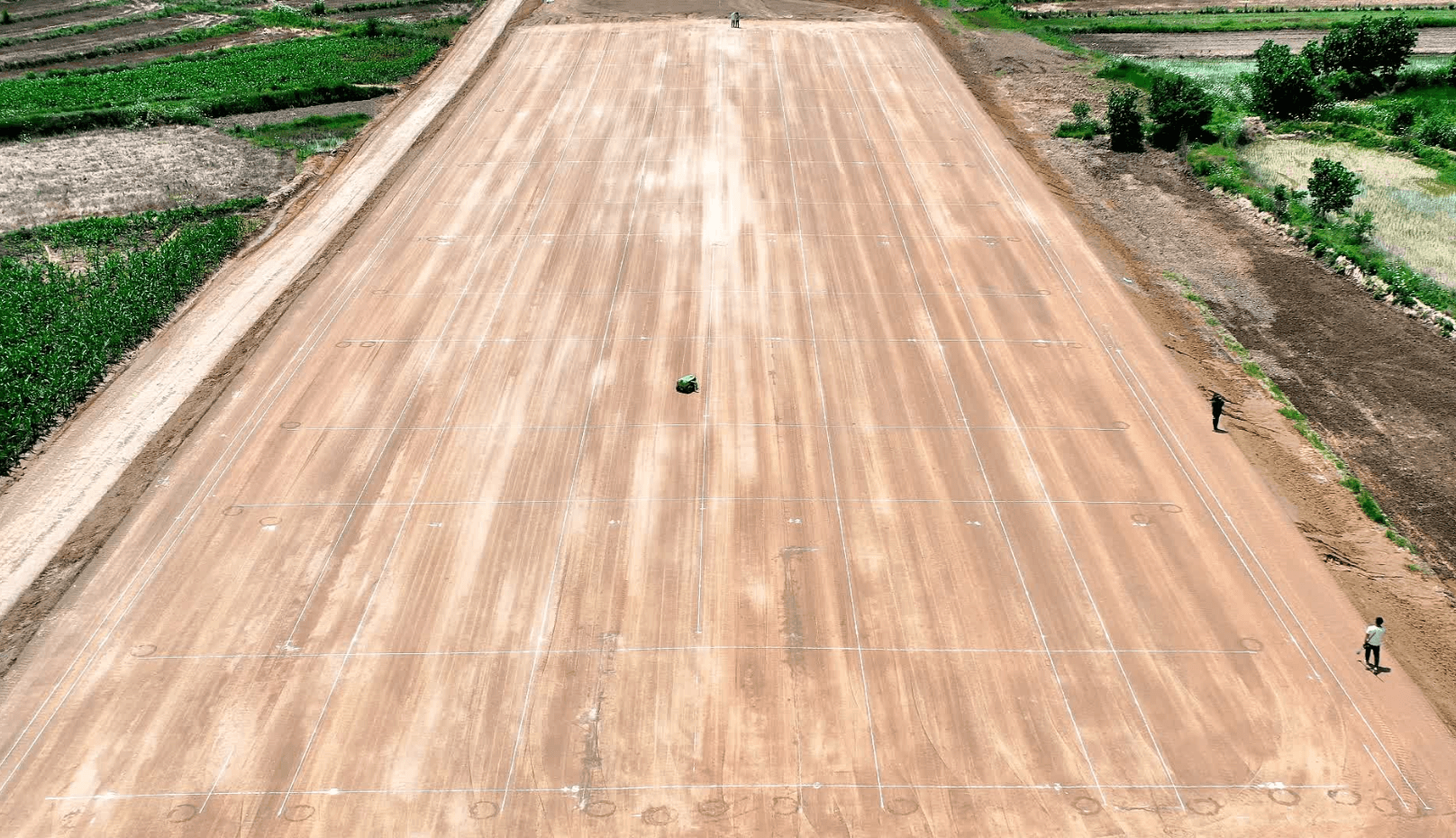 Standard Grid

Fully Automatic Complex Measurement Tasks
Edge line setting-out, center line setting-out, earthwork grid setting-out, pipe culvert excavation line setting-out, cross-section measurement, earthwork volume measurement, center stake elevation measurement, precise leveling
Digital Drawings
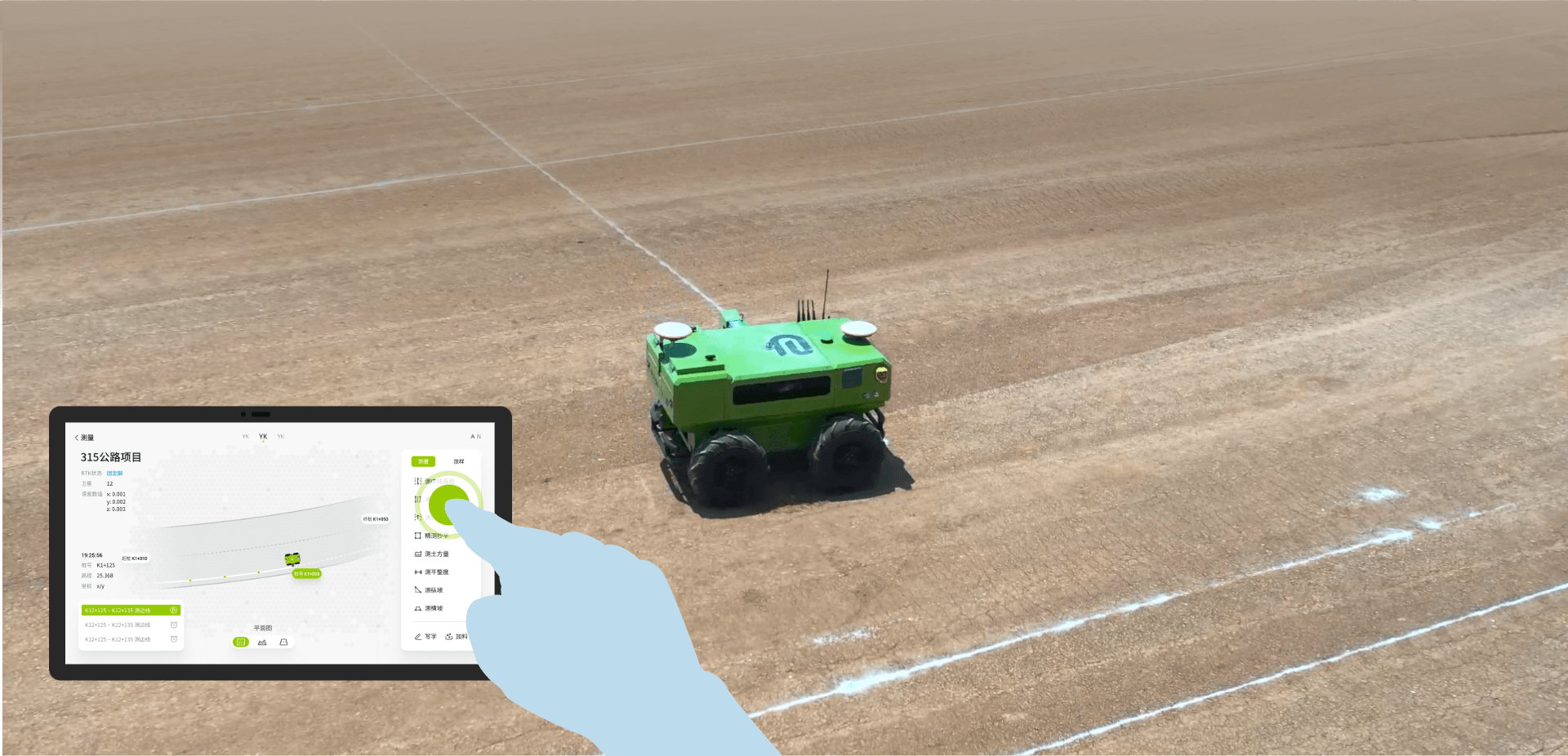
WUJU can adapt to complex terrain, integrate multiple measurement functions, equipped with large-capacity battery and material box. It features high-precision positioning, intelligent navigation, and autonomous planning. It is the marking master in highway construction, an efficient measurement tool, and a reliable construction drawing printer for engineers.
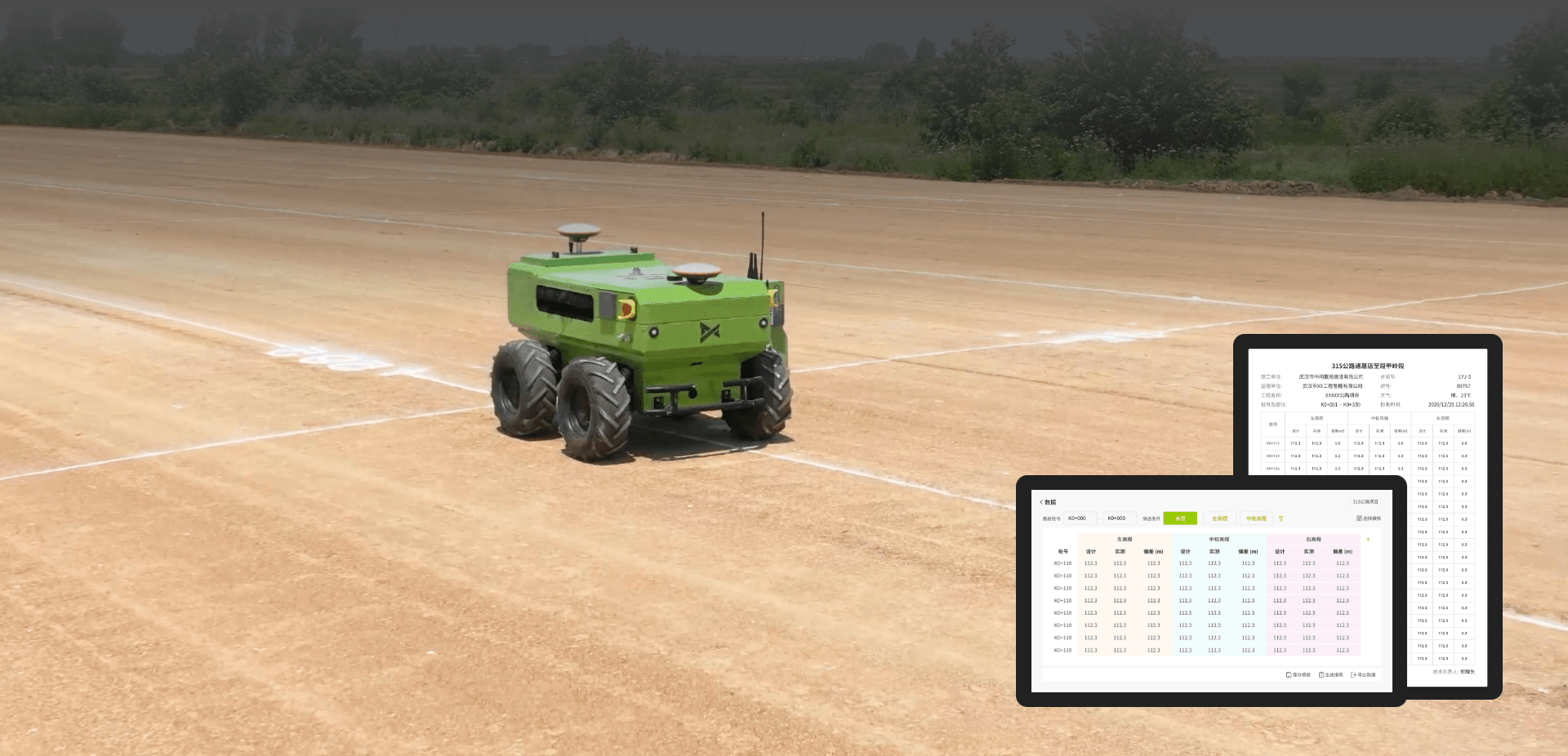
Big Data Analysis
AI intelligent engine, real-time analysis of project progress and quality, assisting project decision-making

Intelligent Obstacle Avoidance
Danger zone identification, edge recognition, vehicle and obstacle autonomous avoidance
Path Planning
Multi-task, multi-target, multi-path autonomous optimal route planning
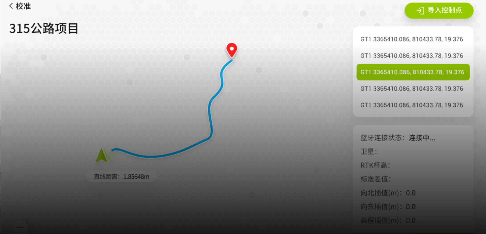
Quick Site Selection
Supports map point selection, stake numbers, one-click selection of points and common locations
Remote Control
5G remote control operation, supports remote controller in emergency situations